
|
While every effort is made to ensure the information provided in these files is accurate, Black & Associates does not accept liability for any errors in content or presentation. --This information should not be used in place of proper site and path surveys.-- |
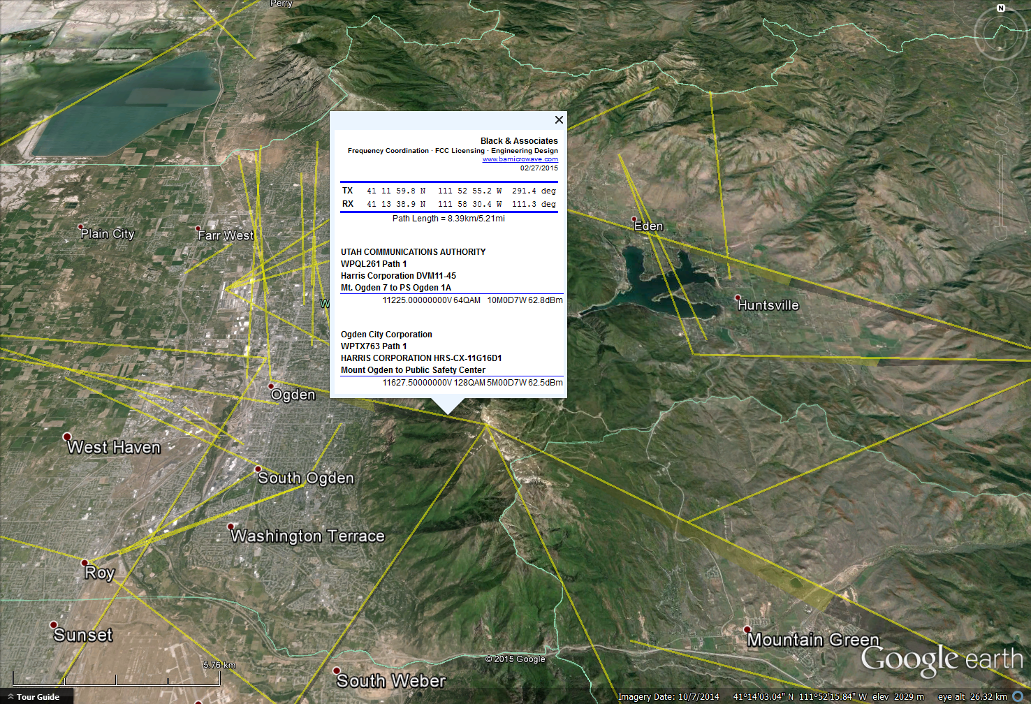
Successful frequency coordination meshes a customer's connectivity requirements with the geographic and infrastructure resources available in the proposed area of operation, while simultaneously protecting the existing RF environment. Black & Associates believes that visualizing these factors in a unified presentation during the link planning process is crucial to ensuring efficient frequency coordination. To aide in this unified approach to coordination, we encourage parties that are planning a licensed link to request a LASO (License and Application Spectrum Overlay) file from us covering the region and band that they propose to operate within. These files contain information about all the links that are licensed or undergoing the FCC authorization process within the area of interest, including licensee name, callsign or filenumber, endpoint coordinates and location names, frequencies, modulations and EIRP levels. When opened in Google Earth (available here) or other Keyhole Markup Language (KML) compatible viewer, these overlays can assist with:
As the licensing situation changes on a daily basis, feel free to email us your center coordinates and band of interest (9xxMHz, 6, 11, 18 or 23GHz) so that we may generate a custom view for you. You can use our contact page for this purpose. Note: Information provided in the above image and the accompanying sample LASO files is derived from the Federal Communication Commission (FCC) Universal Licensing System (ULS) on-line license and application databases. Paths released under Prior Coordination Notice but not yet filed with the FCC are not displayed. |